1.8K
GIS shape files
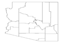
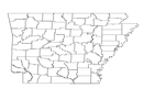
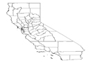
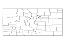
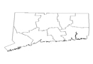
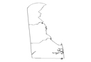
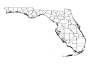
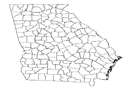
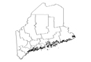
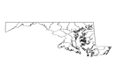
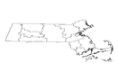
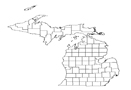
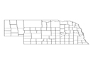
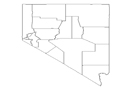
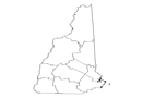
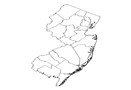
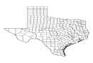
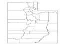
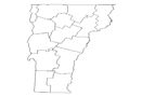
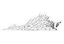
Our GIS data sets for world consist of most up to date details of state and their counties, census boundaries, road network, major cities etc. These datasets have been prepared by extensive research by our research team.
Buy GIS Shape Files
Following data is available in ESRI shape file format. :
 |
|
|
|
|
|
|
|
|
|
|
|
|
|
|
|
|
|
|
|
|
|
|
|
|
|
|
|
|
|
|
|
|
|
|
|
|
|
|
|
|
|
|
|
|
|
|
|
|
|
|
|
|
|
previous post